
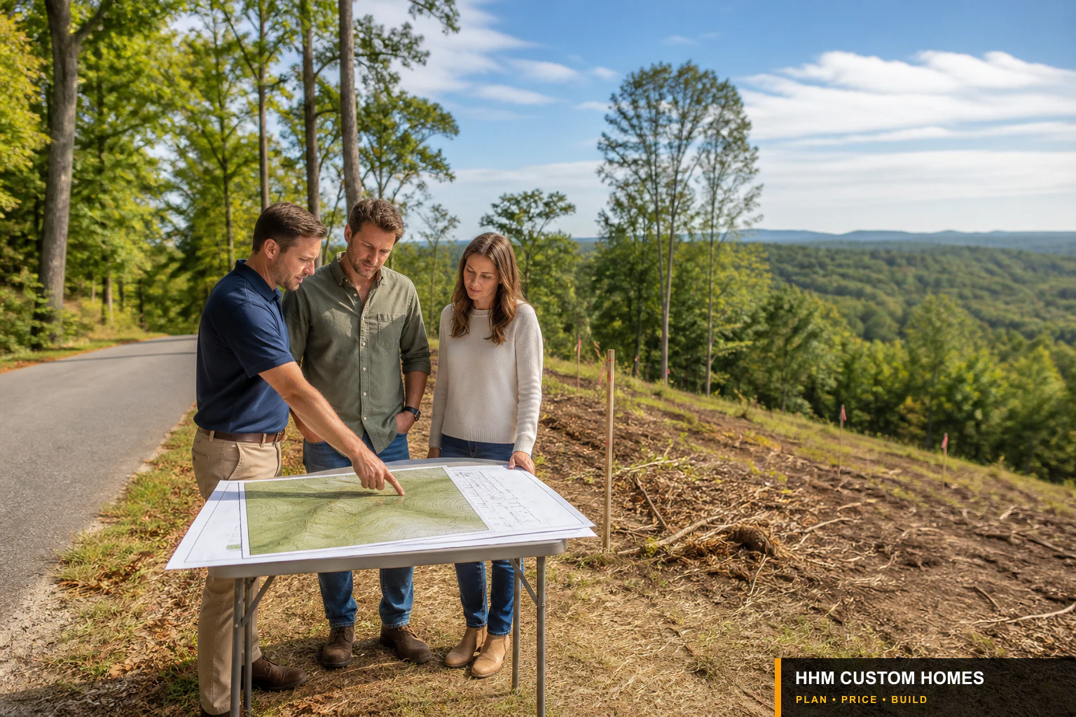
A parcel can be legally conveyed and still be difficult, expensive, or impossible to use for a particular project. HHM evaluates buildability against the proposed use, current rules, access, utilities, soils, drainage, environmental constraints, title conditions, and total development budget. The buyer’s legal and real-estate team controls investigation rights, deadlines, extensions, remedies, and transaction decisions.
If you are evaluating more than one dwelling unit, use HHM’s duplex, triplex, and small multifamily planning guide to connect the proposed unit count with zoning, utilities, construction scope, financing, and operating assumptions.
Confirm the parcel and ownership record
Compare the listing, tax parcel, deed, recorded plat, and any available survey. Have an attorney/title professional address ownership, seller authority, title exceptions, restrictions, easements, rights of way, encroachments, liens, or shared obligations as appropriate to the transaction.
Online GIS boundaries are screening tools and may not represent surveyed property lines. Do not place a house, driveway, well, septic area, fence, or other improvement from a tax map alone.
Verify legal and practical access
A visible path is not necessarily a legal, permitted, or construction-capable access. Determine road ownership, public or private status, maintenance responsibility, and whether the parcel fronts that road or relies on a recorded easement. Review width, grade, curves, drainage crossings, sight distance, bridge or culvert capacity, emergency access, construction equipment, utility rights, maintenance responsibilities, and driveway permit requirements.
Ask the jurisdiction about the proposed use
Identify the authority having jurisdiction and describe the actual project. Review zoning, setbacks, lot coverage, height, use limitations, watershed or overlay districts, floodplain, subdivision rules, road requirements, and any separate county, municipal, state, federal, HOA, or architectural approvals.
Do not rely on “a house used to be there” or “the neighbor built one” as proof that the current proposal is allowed.
Map the buildable area
Overlay boundaries, setbacks, easements, buffers, flood constraints, steep slopes, water features, septic areas, wells, utilities, access, trees to remain, and drainage paths. Screen wetlands, protected resources, and prior land-use/environmental history where relevant; not every parcel requires the same specialist study. The space left after verified constraints—not total acreage—is the practical design area.
Consider staging and construction access as well as the final home. A house may fit on paper while cranes, concrete trucks, septic equipment, or fire access cannot.
Investigate water and wastewater
For public systems, obtain current written information about availability, connection location, capacity, tap or impact fees, extensions, easements, and timing. Nearby infrastructure does not guarantee a service connection.
For septic and well, work with the local health/environmental authority and qualified professionals. The evaluation must fit the intended bedrooms/use, repair area, well separation, site layout, and current rules. A prior permit or soil test may have expired or may not support the new proposal.
Understand soils, slope, drainage, and flood risk
Walk the property in different conditions when possible. Look for erosion, standing water, channels, fill, dumping, retaining walls, unstable slopes, rock, and water flowing from or toward adjacent property. Public soils and flood maps help screen risk but can change and do not replace a current survey, elevation data, jurisdiction confirmation, field investigation, or engineering.
Screening maps may identify conditions that warrant additional geotechnical, geological, environmental, well, septic, or civil review, but they do not determine parcel suitability.
Confirm utilities and communications
Request written information from electric, gas, water, sewer, broadband, and other providers. Identify service routes, extension costs, equipment locations, easements, clearing, trenching, timing, and whether off-site upgrades are required.
Price the land as a developed site
Estimate the full path from raw parcel to construction-ready pad: survey, design, permits, clearing, erosion control, access, grading, drainage, utilities, well/septic, retaining, foundation conditions, and restoration. A lower purchase price can be outweighed by development cost.
Use a written go/no-go report
Before the due-diligence period ends, record:
- Verified facts and retained documents
- Open questions and responsible party
- Cost and schedule assumptions
- Conditions that could make the project unacceptable
- Whether the current concept fits the remaining buildable area and budget
Authoritative sources
Useful screening and agency-routing resources include the FEMA Flood Map Service Center, county or municipal GIS and planning departments, the NC DEQ Permit Directory, SCDES residential septic guidance, and SCDES private-well guidance. These sources route questions; the property, transaction, responsible agencies/professionals, and written determinations control. Sources reviewed August 15, 2026.
Related HHM guides: utility feasibility, grading/drainage, custom-home budget, custom-home roadmap, and permits and inspections.